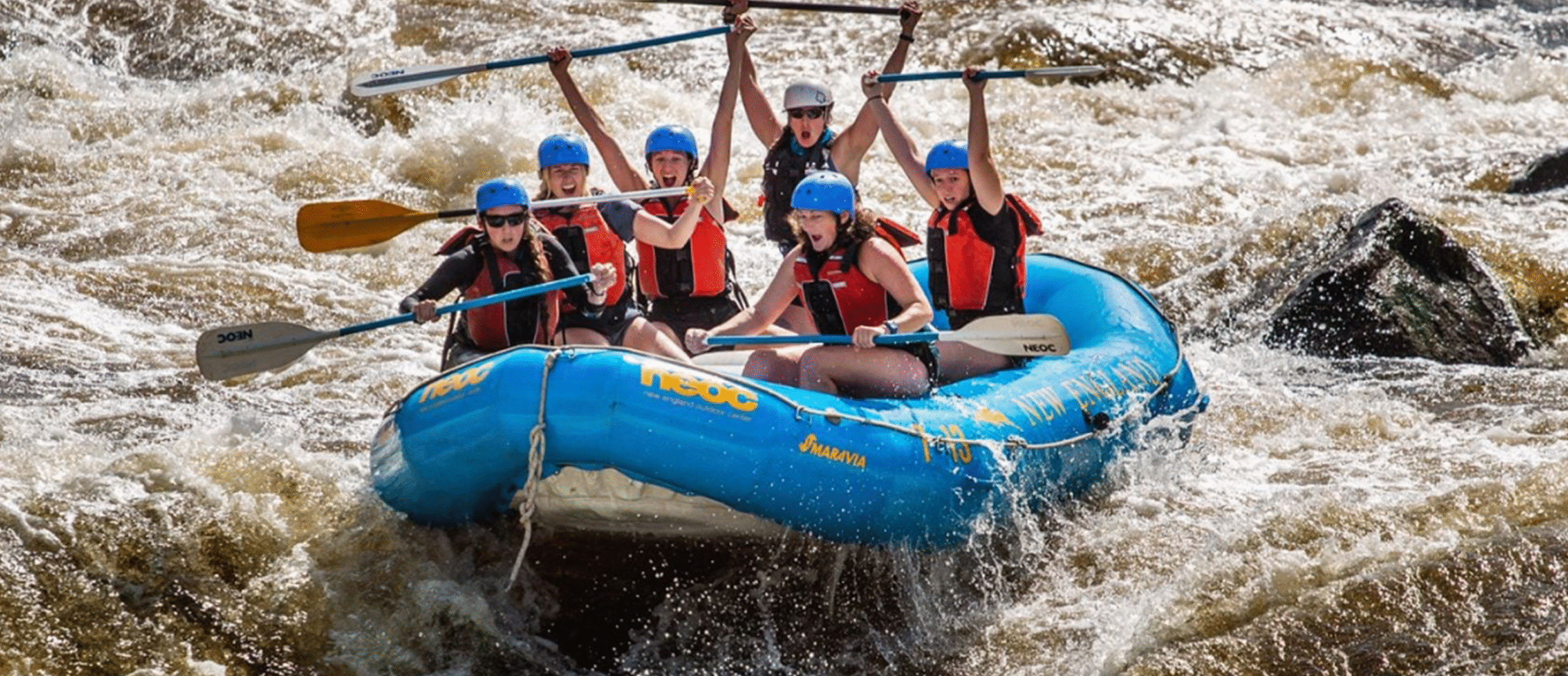
Whitewater Rafting
at NEOC

Adventure Begins Here
Experience Maine’s legendary
Penobscot River
This is more than just whitewater—it’s a shared adventure in the heart of Maine’s wild landscape. With over 11 named rapids, from gentle waves to heart-pounding drops, the Penobscot offers something unforgettable at every turn. Paddle through the breathtaking Ripogenus Gorge, catch incredible views of Katahdin, and spot wildlife along the way. Whether it’s your first time on the river or your tenth, rafting with NEOC is the adventure you’ll talk about for years.

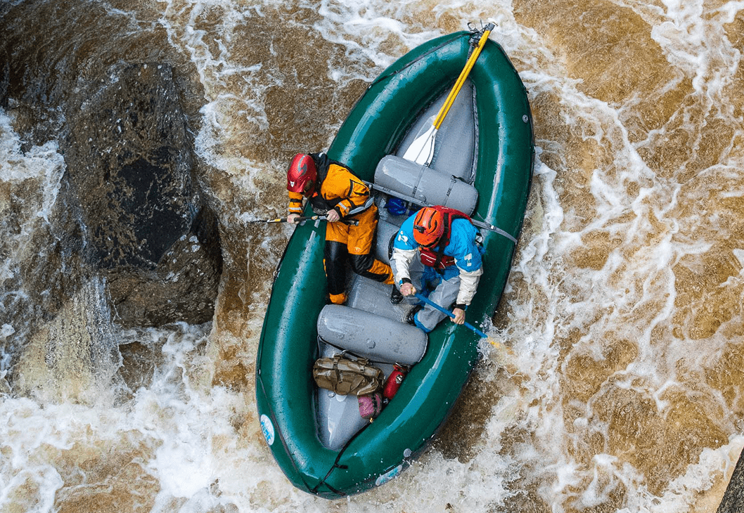
Upper Penobscot River | Class II-V
PENOBSCOT CLASSIC
High Intensity (Class IV/V)
Our Penobscot Full River trip boasts a reputation of exhilarating rapids and breathtaking scenery! In the morning, we’ll put-in at Mckay Station to begin the upper river—an exciting, raucous waterway featuring a stretch that drops 70 feet per mile through a narrow, granite-walled canyon into Class V whitewater. After a riverside cookout lunch, the trip moves to Nesowadnehunk Falls—a 12-foot waterfall—and then rafts just over 6 miles of class I-IV rapids. We’ll explore river-wide waterfalls, surf, and play on a natural waterslide.
- Check-in at 8:00am
- Class II-V rapids
- Ages 14+
- Cookout lunch
- Full day, full river trip
- Trips offered 7 days/week
Starting at $119/pp
Add Private Raft – see below
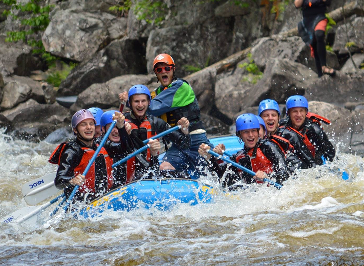
DOUBLE TROUBLE
Higher Intensity (Class IV/V)
Ready to level up your adventure? Double Trouble is one of our most exciting river trips, offering two runs through the iconic Ripogenus Gorge—home to some of the most thrilling whitewater east of the Mississippi. You’ll paddle Class V rapids twice in one unforgettable day, guided by experienced river enthusiasts. After the excitement, kick back with a hearty riverside BBQ lunch prepared by your guides.
*Prefer a single run? Single-run rafting trips are available 7 days/week.
- Check-in at 8:00am
- Class II-V rapids
- Ages 14+
- 3/4 day—Two runs of the upper-class V section
- Trips offered Sundays only in the early season, Thursdays & Sundays in July/August
- Cookout lunch
Starting at $149/pp
Add private raft – see below
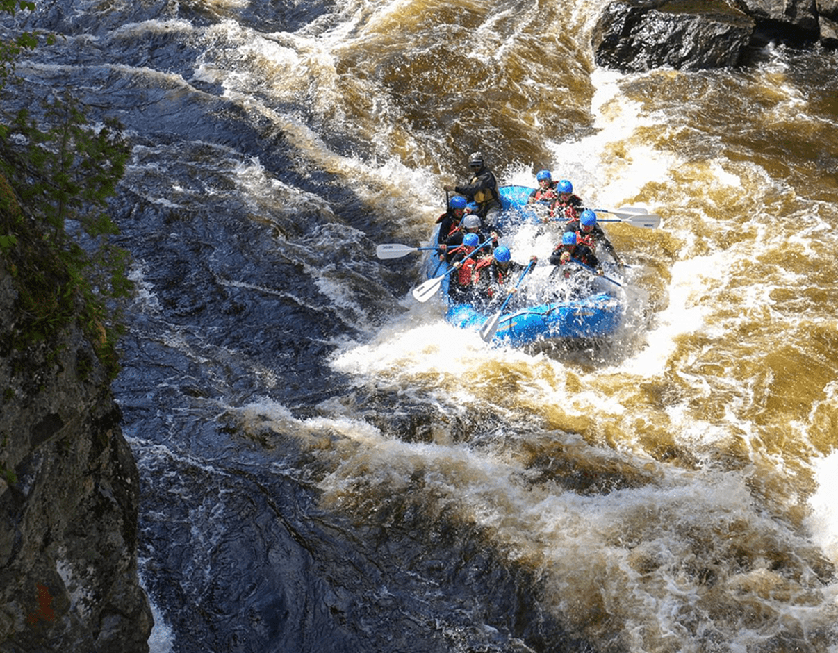
Lower Penobscot River | Class II-IV
LOWER RIVER EXPERIENCE
Medium Intensity (Class III/IV)
The Lower River Experience is our mild to wild trip on the Penobscot River, perfect for introducing first-time rafters to the fun and beauty of an afternoon on the river. Our adventure begins with a riverside cookout lunch, then we will put-in above Nesowadnehunk Falls to raft over 6 miles of the notorious Penobscot River. We’ll explore river-wide waterfalls, surf rapids, play on a natural waterslide, and look out for Maine wildlife. With multiple routes through these rapids, our trip on the lower river can be adapted by your guide to be more mild, or more wild!
- Check-in at 10:00am
- Ages 10+ to raft the falls, 9yrs old can join after the falls
- 1/2 day trip, approx. 4-5 hours. May vary depending on daily river conditions. Our professional trip leaders always prioritize safety and guest enjoyment!
- Trips offered 7 days/week
- Cookout lunch
Starting at $114/pp
Add Private Raft—see below
FAMILY FLOAT TRIP
No Intensity (Class I)
The Family Float is our mildest trip, and serves as an introduction to the beauty of the Penobscot River, as well as a playful excursion for the whole family.
We’ll start the day with a riverside cookout lunch, then we will put-in downstream of Nesowadnehunk Falls. After floating through a Class I rapid, we’ll stop at a natural water slide to play for a while. Then guests can relax and enjoy beautiful views of Katahdin and Maine wildlife while we float through a section of flat water. The trip will finish at Abol Store with an ice cream treat before heading back to the Penobscot Outdoor Center.
- Check-in at 10:00am
- Ages 5+
- 1/2 day trip
- Trips offered 7 days/week
- Cookout lunch & ice cream
Starting at $114/pp
Private Raft Upgrade
Want your own boat for your crew but don’t have 7 or 8 people to go? The private upgrade will allow our guides to give you the most customized trip for your adventure. Whether you’re just looking for quality time with friends & family, or you want privacy for a religious or spiritual ceremony, we can help facilitate the needs of your group with a private raft. Please call our office to book!
Add to any Penobscot River Classic, Double Trouble, or Lower River Experience (minimum 4 people).
- 4 people: +$60pp
- 5 people: +$40pp
- 6 people: +$20pp
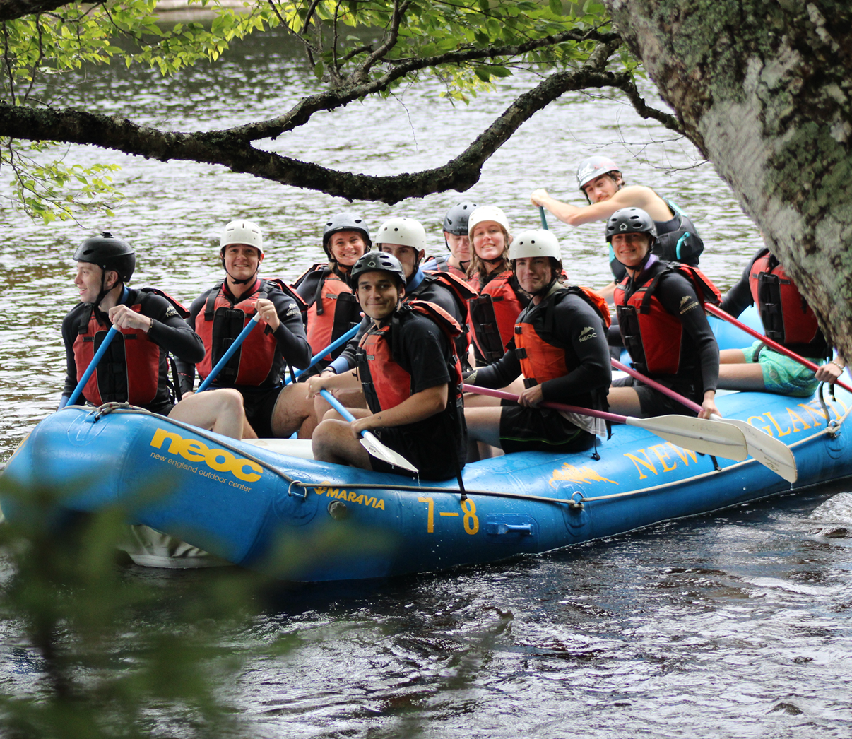
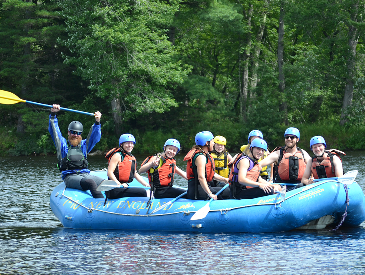
Rafting Photos
PHOTO & VIDEO OPPORTUNITIES
Take a piece of your trip home with you! At NEOC, we capture professional photos & videos of your whitewater adventure, available for purchase after your trip. For more information call us at 1-800-766-7238.
- First photo: $25.00 USD
- Additional photos: $15.00 USD
- Entire album: $80.00 USD
- Video: $40.00 USD
- *Prices do not include tax
FAQs
- An awesome bus ride up and down the Golden Road
- Hot, delicious riverside cookout lunch
- Expert guides with a deep passion for the Penobscot River
- Images and Video for purchase
- Taxes and river access fees
- Gratuity for guides, bus drivers, video boater/photographer
- The sweet NEOC-branded gear you get to wear all day long
NEOC reserves the right to change trips based on weather, water levels, and guest participation. This is at the River Manager’s discretion and is done to provide the best and safest guest experience.
- Organize a group of 11 midweek or 16 on a weekend, and you go FREE!
- Make the most of your time in the Katahdin Region with two full days of outdoor fun. When you book any activity, you can add a second day for just $89.* *Higher-priced day is charged at full price. Offer valid when booking two days of the same activity. Please call our office to add!
Escape the college grind with some adventure. Grab your friends, disconnect, and experience the thrill of the river. Enjoy 20% off whitewater rafting adventures with code: PADDLE
*Must have a valid college ID to present at trip check-in. Questions? Contact our office!
We’re proud to honor those who serve our communities and country. Military personnel, first responders, and teachers can enjoy 20% off whitewater rafting adventures with code: THANKYOU
*Must have a Military ID, Teacher ID, or First Responder ID to present at trip check-in. Questions? Contact our office!