Discover the Seasons
at NEOC

Summer
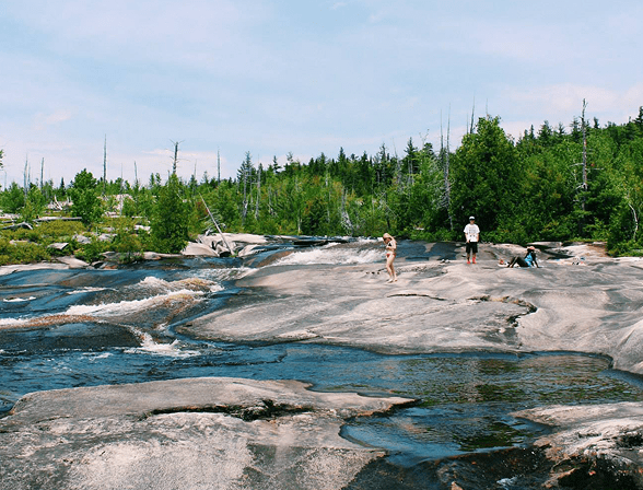
If you’ve experienced a Maine summer, you know they really are special. At NEOC, this means rafting on the Penobscot river, climbing Katahdin, s’mores, perfect temps, and endless adventure. Explore our summer activities & experiences here.
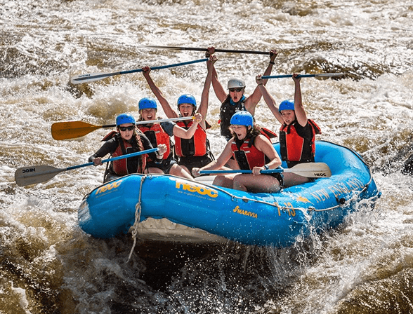
Whitewater Rafting
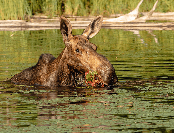
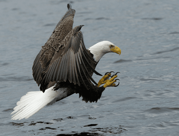
Scenic Wildlife Tours
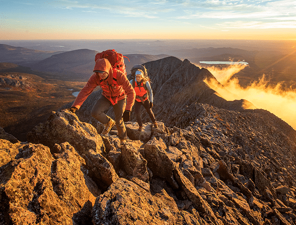
Katahdin Ascents
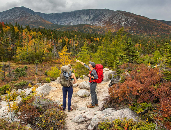
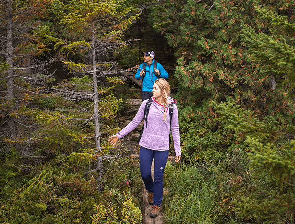
Guided Day Hikes
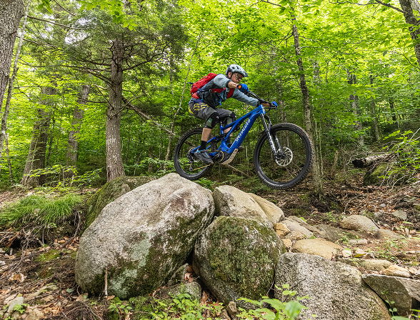
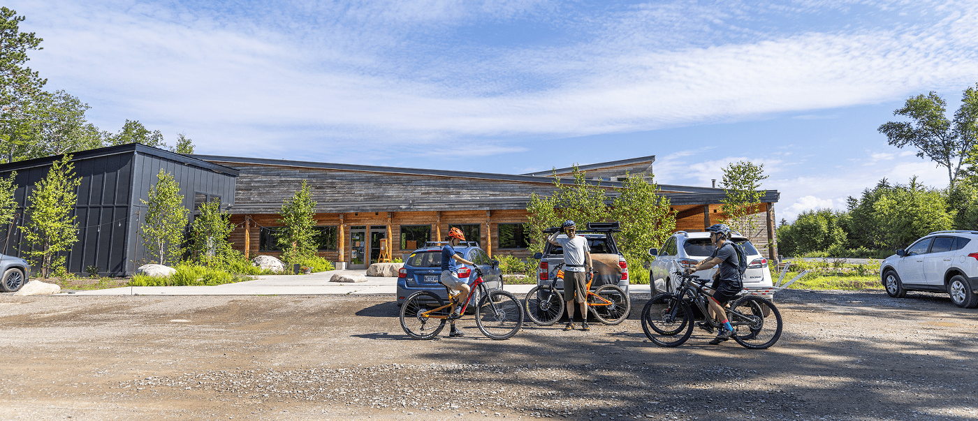
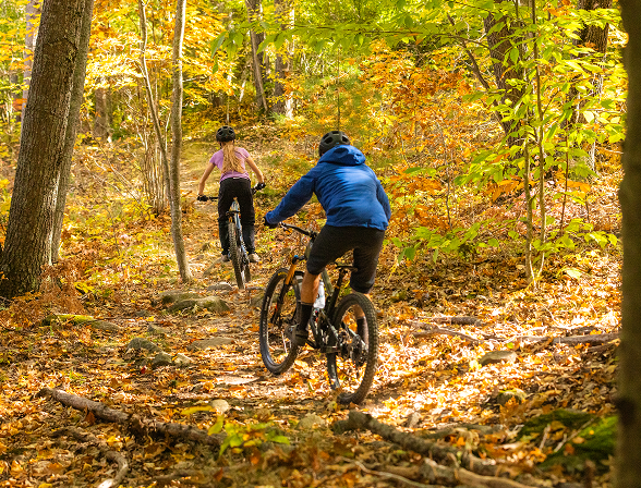
Mountain & Fat Tire Biking
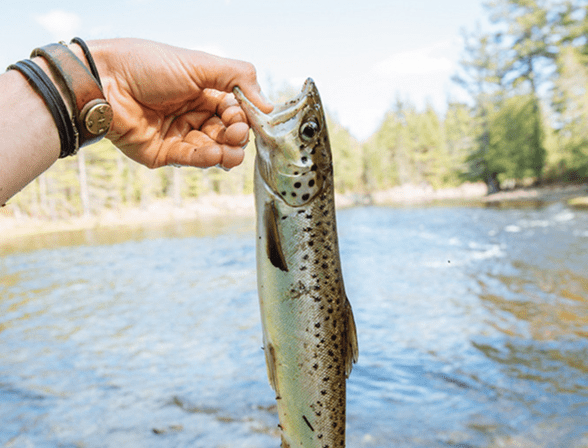
Fishing
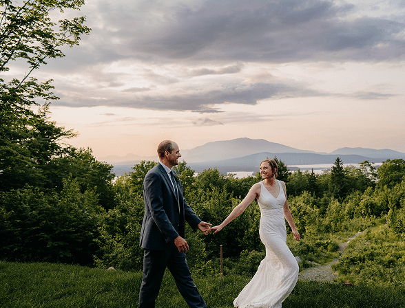
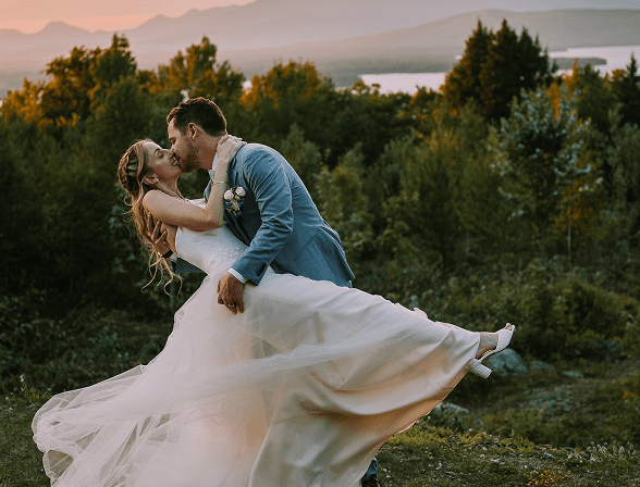
weddings
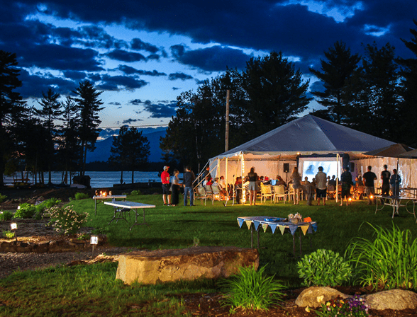
group & corporate events
Fall
Whether you’re craving autumn adventure in Maine’s outdoors, leaf peeping, relaxing by the fire, or all of the above—crisp days & cozy nights await you at NEOC. Explore our fall activities & experiences here.
scenic wildlife tours
guided day hikes
mountain & fat tire biking
fishing
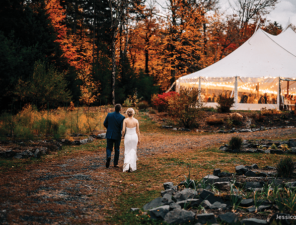
weddings
group & corporate events

Winter
Immerse yourself in the most magical and snowy landscape in Maine – through snowmobiling, XC skiing, ice fishing, and so much more. Explore our winter activities & experiences here.
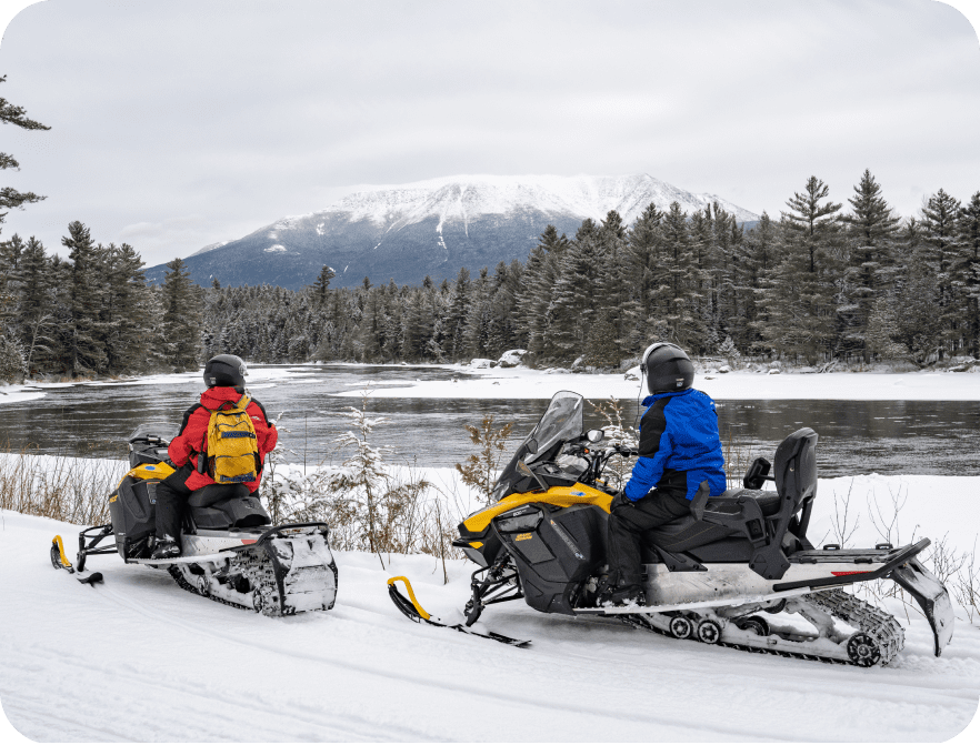
snowmobiling
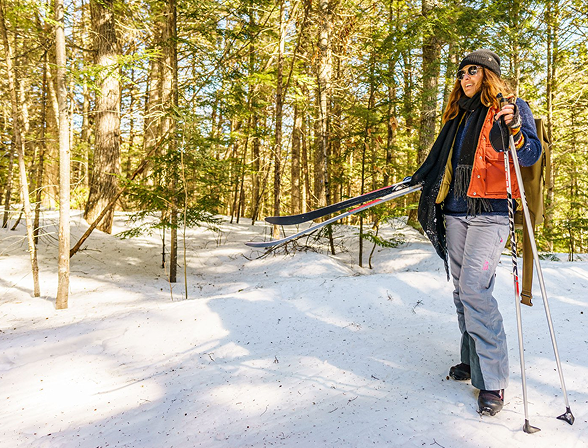
xc skiing & snowshoeing
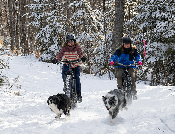
fat tire biking
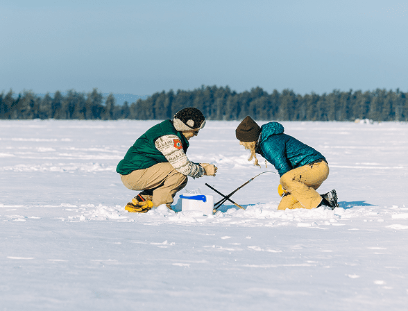
ice fishing
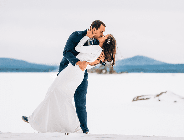
elopements

group & corporate events

Spring
There’s nothing like watching the Katahdin Region bloom to life after a long winter. Savor longer days, fresh temps, and a full calendar of adventure at NEOC. Explore our spring activities & experiences here.
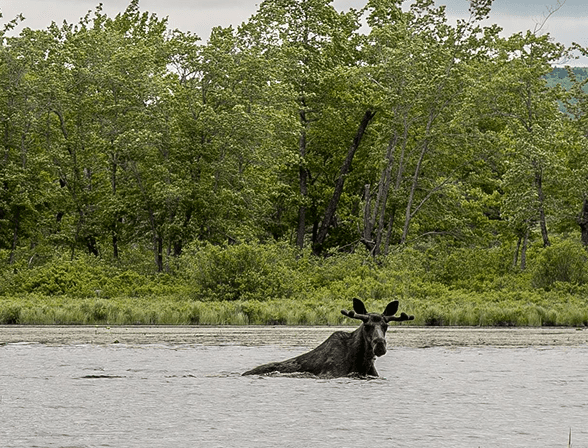
scenic wildlife tours
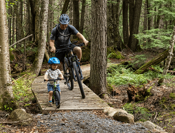
mountain biking
guided day hikes
weddings