About NEOC

What is NEOC?
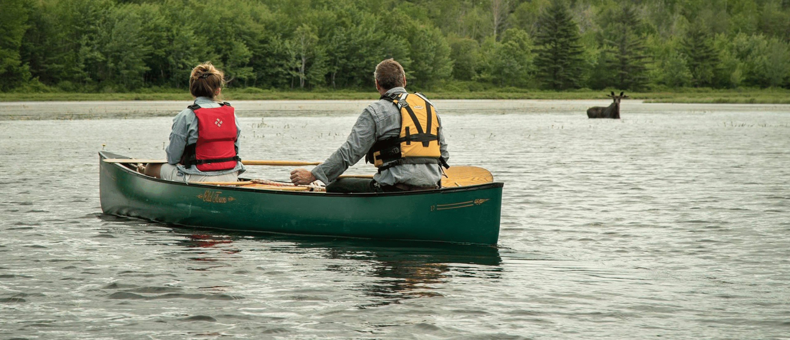
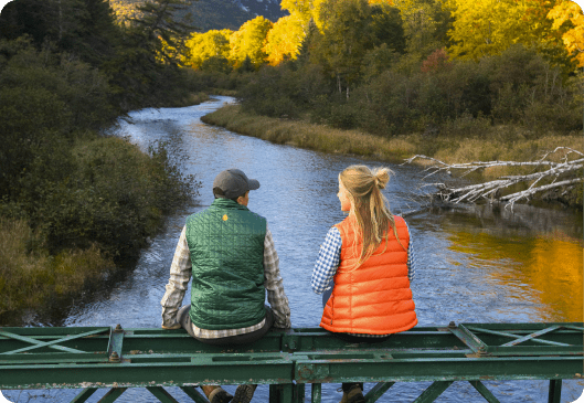
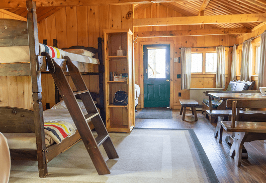
a lakeside resort in the heart of the katahdin region
What began as a whitewater rafting operation has evolved into a year-round outdoor adventure resort defined by exceptional amenities, service, and care. NEOC is a haven for relaxation, as well as recreation. Whether you’re here to savor the beauty of the wilderness, or summit the highest peak in the state—we’re here for you.
Environmental stewardship
At NEOC, we have the privilege of caring for 1400 acres of the Katahdin region. We’re honored to protect & preserve this remarkable place, and are committed to upholding the spirit of sustainable adventure—both in our team, and in our visitors.
History of NEOC
How our outdoor recreation resort came to be
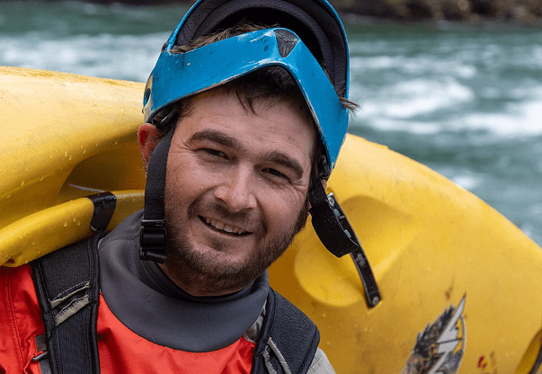
meet our guides
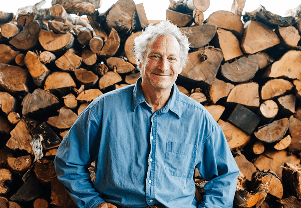
MEET MATT POLSTEIN!
As Owner, Operator, and President of NEOC, Matt has spent more than 45 years blending his expertise and love for whitewater rafting with his dedication to the outdoors. He continues to hold his whitewater rafting license and can still be found charging down the river, keeping his muscle memory sharp as he navigates rapids and rocks with ease.
Beyond the river, Matt is involved in every facet of NEOC. Whether it’s lending a hand in the kitchen, guiding the grounds, or welcoming guests in the Event Center, his leadership is rooted in a passion for crafting unforgettable outdoor adventures, exceptional lodging, and memorable events.
MEET MAX POLSTEIN!
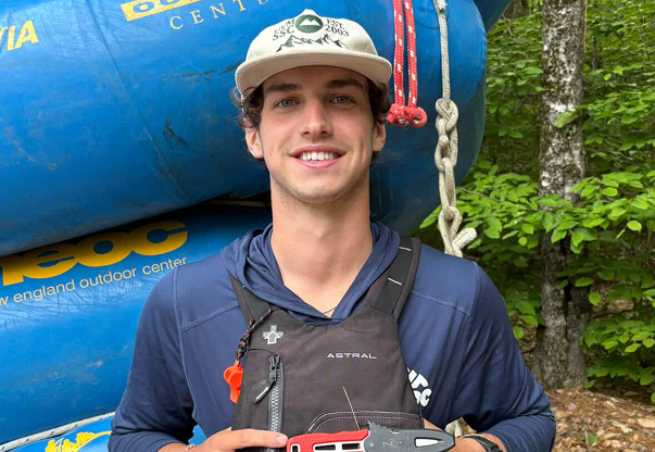
Max is the oldest of the Polstein family and has his hands in just about everything at NEOC. On the water, you’ll find him guiding our full-river whitewater rafting trips, where his love for high adventure gives guests the thrill of a lifetime. Off the river, Max keeps NEOC running smoothly as he manages our grounds and maintenance team.
When he’s not working, Max enjoys time with his black lab, Bear, and is an avid snowmobiler. He is always ready to jump into the next adventure, no matter the season.
MEET SAM POLSTEIN!
Sam is the middle of the Polstein crew, and is a recent graduate of the University of Vermont. In the summer, you’ll find him on the river guiding trips of all sizes, always bringing energy, skill, and a passion for making sure every guest has their best day on the water.
Off the river, Sam enjoys diving into his love of antique cars and spending time with friends, often circling back to the river for a fun run with the crew.
MEET VAL LOCKE!
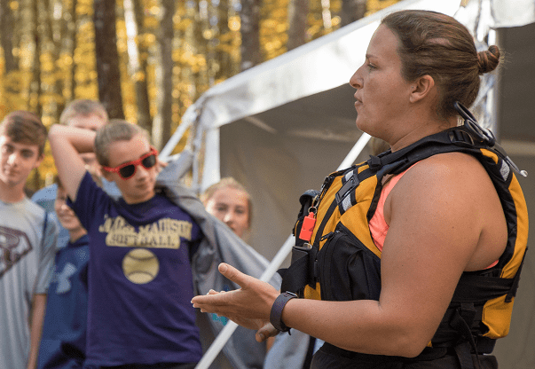
Val is the Resort Operations Director at NEOC, and also serves as Program Director for our Maine Outdoor Education Program, based out of Penobscot River Trails on the East Branch of the Penobscot River. With endorsements in Recreational Guiding, Val leads trips in kayaking, mountain biking, and cross-country skiing—sharing her skills and love of the outdoors with guests and students alike.
When she’s off the clock, Val is often found at camp with her family, embracing the outdoors in every season.
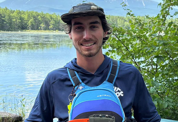
MEET MATT CYR!
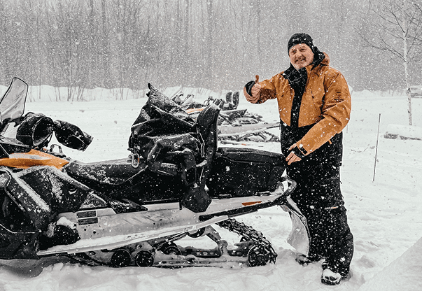
If there’s one thing NEOC has plenty of, it’s Matts—and Matt Cyr is one you’re sure to recognize. As our trip lead for guided snowmobile tours, he spends winters showing guests the thrill of Maine’s backcountry. Come summer, you’ll find him at the helm of our pontoon boat on Millinocket Lake, leading wildlife tours and sharing his deep knowledge of the region’s flora and fauna.
As a Millinocket native, Matt’s connection to the land runs deep. Beyond guiding at NEOC, he also lends his expertise to the Maine Outdoor Education Program, leading students in mountain biking, XC skiing, and paddling adventures.
When he’s not on the trails or water, Matt enjoys time at his camp, relaxing with family and soaking in the outdoors he knows so well.
MEET TALLIE MARTIN!
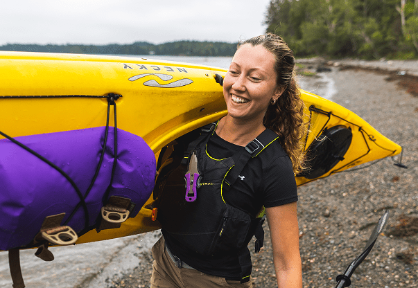
Tallie brings a unique blend of leadership, creativity, and adventure to NEOC. As both our Trip Lead Katahdin Guide and Marketing Manager, she combines her skills on the trail with her vision behind the scenes. A Registered Maine Guide, Tallie leads year-round adventures in hiking, paddling, XC skiing, and snowmobiling—helping guests experience the best of the Katahdin Region.
Beyond guiding trips, Tallie also works with the Maine Outdoor Education Program, where she shares her love for the outdoors with local students. Whether she’s teaching paddling skills on the river or leading kids through the woods, Tallie is passionate about helping the next generation discover confidence and joy in nature.
In her downtime, you’ll likely find Tallie hiking with friends or unwinding at the lake, always staying close to the wild places she calls home.
MEET CHRIS HOWE!
Chris is NEOC’s River Manager and has been running the Penobscot River for more than 20 years. With a deep passion for Maine’s wild rivers, Chris blends creativity, energy, and a love for life into every trip he guides. There’s truly no one like Chris on the river, and we’re grateful to have him as part of the NEOC family.
In the off-season, Chris brings his hospitality expertise to Sugarloaf, where he continues his knack for making meaningful connections. When he’s not working, you’ll often find him kayaking the river with friends, relaxing at the Big Eddy with his wife and pup, Eva, or exploring the woods of Maine on his next adventure.

Reservations & cancellations FAQs
Guests under the age of 18 require a signature by a parent of guardian for our online release forms.
All guests over the age of 18 should pre-fill and sign our activity paperwork and waivers. Waivers are automatically generated and sent with each reservation.
All reservations must be paid in full 45 days prior to the trip date in order to avoid cancellation.
With advanced communication, we are happy to process individual deposits for more than one person in a group.
NEOC requires a deposit of 50% of the total reservation at the time of booking. For reservations made within 45 days of the trip date, we require full payment at the time of booking.
Cancellations made within 45 days of the trip date are non-refundable.
- $25 per cabin of your deposit is non-refundable and non-assignable for lodging.
- $25 per person of your deposit is non-refundable and non-assignable for activities.
Security deposits are required for each accommodation and will be collected at the time of check-in. If we discover any damage or missing items, we will prepare a written estimate which will be forwarded to you, and your credit card on file will be charged the full amount of the repair or replacement costs.
All reservations for which no deposit is received 45 days in advance may be automatically cancelled without further notice to you. Rafting, snowmobile rentals, and our cabins are in high demand, and we enforce a strict cancellation policy. If we receive a cancellation 45 or more days prior to the trip date, a full refund will be granted, minus applicable cancellation fees.
Give the gift
of adventure.
Our gift cards are perfect for any occasion and can be applied toward lodging, activities, or dining at the resort. Have them sent immediately to the recipient’s email, or to your email for printing. Physical gift cards may also be purchased at the resort.